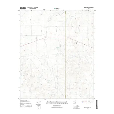
2016 Map of Triangle Ranch
USGS Topo · Published 2016About this map
Triangle Ranch occupies a vast expanse of the Texas Rolling Plains at the border of Cottle and Foard counties, where the landscape is defined by the drainage of Good Cr and several ephemeral tributaries. The terrain rises to notable high points like Marys Peak, providing a clear view of the complex hydrology that supported cattle operations in this arid region. The network of artificial water sources, including Matador Tank, Charley Hart Tank, and Beef Pasture Tank, illustrates the necessary adaptations for large-scale ranching in North Texas. A grid of county roads, such as Co RD 345 and Co RD 346, crisscrosses the range, providing access to these remote pastures and highlighting the sparse, structured settlement pattern typical of the era's ranching economy.
Find a feature on this map
27 named features on this map. Tap any name to fly to it.
Don’t see what you’re looking for? This feature index may not catch every label — zoom into the map to look around manually.
Map Details
Editions of this 2016 Triangle Ranch Map
This is the sole edition of this map. No revisions or reprints were ever made.
Other maps of this area

1927 · Quanah 3-b
USGS Topo · 1:48,000

1932 · Vivian
USGS Topo · 1:62,500

1954 · Lubbock
USGS Topo · 1:250,000

1954 · Plainview
USGS Topo · 1:250,000

1954 · Wichita Falls
USGS Topo · 1:250,000

1955 · Lawton
USGS Topo · 1:250,000

1958 · Wichita Falls
USGS Topo · 1:250,000

1958 · Plainview
USGS Topo · 1:250,000

1960 · Teacup Mountain
USGS Topo · 1:62,500

1967 · Triangle Ranch
USGS Topo · 1:24,000