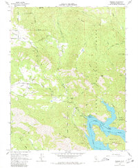
1965 Map of Trimmer
USGS Topo · Published 1980About this map
Pine Flat Lake and the Kings River define the southeastern landscape of this mid-century survey, reflecting the region's managed water resources. While much of the area is occupied by the Sierra National Forest and Sequoia National Forest, small pockets of settlement such as Trimmer and Burrough are visible. The map includes underwater contours for the lake based on 1948 data, showing the canyon as it appeared prior to inundation. Genealogy interests are centered in Watts Valley, where the Watts Valley Cem remains a primary landmark for the dispersed community. Resource management and recreation are evident through the Trimmer Ranger Sta, various campgrounds like Sycamore Flat 1 Campground, and a Gaging Station on Sycamore Creek. Transport is limited to rugged routes such as Watts Valley Road and Maxson Road, weaving through peaks like Davis Mountain and Branford Mountain.
Find a feature on this map
50 named features on this map. Tap any name to fly to it.
Don’t see what you’re looking for? This feature index may not catch every label — zoom into the map to look around manually.
Map Details
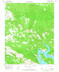
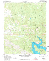
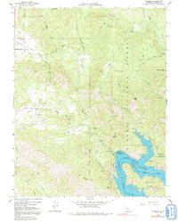
Editions of this 1965 Trimmer Map
4 editions found
Other maps of this area

1904 · Kaiser
USGS Topo · 1:125,000

1920 · Orangedale School
USGS Topo · 1:24,000

1922 · Trimmer
USGS Topo · 1:96,000

1923 · Orangedale School
USGS Topo · 1:31,680

1924 · Dinuba
USGS Topo · 1:125,000

1942 · Watts Valley
USGS Topo · 1:62,500

1944 · Watts Valley
USGS Topo · 1:62,500

1947 · Mariposa
USGS Topo · 1:250,000

1948 · Fresno
USGS Topo · 1:250,000

1948 · Mariposa
USGS Topo · 1:250,000