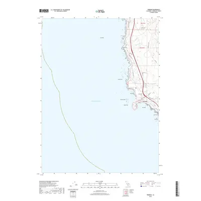
2018 Map of Trinidad
USGS Topo · Published 2018About this map
The coastal community of Trinidad sits perched above the rugged California shoreline on this 2018 survey. The map details the intricate geography of the Humboldt County coast, from the sea stacks of Blank Rock and Flatiron Rock to the sheltered waters of College Cove. Inland, the landscape rises quickly toward Candy Mtn, drained by small coastal streams including McNeil Cr and Savage Cr.
Find a feature on this map
37 named features on this map. Tap any name to fly to it.
Don’t see what you’re looking for? This feature index may not catch every label — zoom into the map to look around manually.
Map Details
Editions of this 2018 Trinidad Map
This is the sole edition of this map. No revisions or reprints were ever made.
Other maps of this area
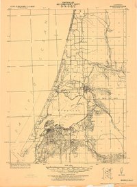
1922 · Eureka
USGS Topo · 1:62,500
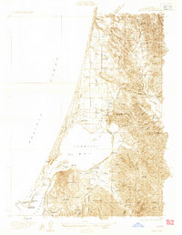
1933 · Eureka
USGS Topo · 1:48,000
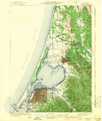
1942 · Eureka
USGS Topo · 1:62,500
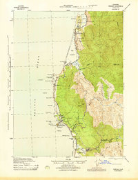
1945 · Trinidad
USGS Topo · 1:62,500
1949 · Eureka
USGS Topo · 1:250,000
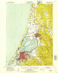
1951 · Eureka
USGS Topo · 1:62,500
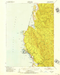
1952 · Trinidad
USGS Topo · 1:62,500
1952 · Arcata North
USGS Topo · 1:24,000
1958 · Eureka
USGS Topo · 1:250,000
1958 · Crescent City
USGS Topo · 1:250,000