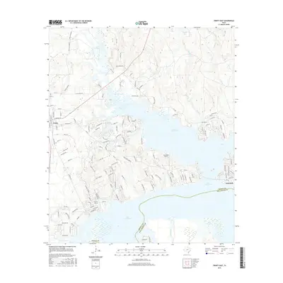
2016 Map of Trinity East
USGS Topo · Published 2016About this map
Lake Livingston dominates the landscape of this 2016 survey, where the sprawling reservoir meets the established town of Trinity and the community of Sebastopol. The map illustrates a densely subdivided shoreline, particularly around the many finger-like inlets of the lake, where residential developments like Westwood Lake and Horseshoe Lake have reshaped the local geography. Significant transportation arteries, including FM 3188 and a network of named local roads such as Skains Chapel Rd and Roy Kennedy Rd, connect these lakeside communities to the regional center of Trinity.
Find a feature on this map
133 named features on this map. Tap any name to fly to it.
Don’t see what you’re looking for? This feature index may not catch every label — zoom into the map to look around manually.
Map Details
Editions of this 2016 Trinity East Map
This is the sole edition of this map. No revisions or reprints were ever made.
Other maps of this area

1953 · Palestine
USGS Topo · 1:250,000

1954 · Beaumont
USGS Topo · 1:250,000

1957 · Beaumont
USGS Topo · 1:250,000

1957 · Palestine
USGS Topo · 1:250,000

1960 · Trinity West
USGS Topo · 1:24,000

1960 · Trinity East
USGS Topo · 1:24,000

1960 · Carlisle
USGS Topo · 1:24,000

1961 · Staley
USGS Topo · 1:24,000

1961 · Riverside
USGS Topo · 1:24,000

1962 · Lovelady South
USGS Topo · 1:24,000