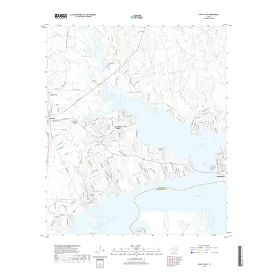
2019 Map of Trinity East
USGS Topo · Published 2019About this map
Lake Livingston dominates this portion of East Texas, where its expansive waters meet the southern border of Trinity County. The shoreline is heavily developed with modern residential enclaves and recreational sites, most notably the peninsula occupied by Westwood Shores, which is centered around Horseshoe Lake. The layout of the region reflects a transition from the established grid of Trinity and the historic lumber-associated area of Mill Town to the winding, subdivision-style roads that cater to lakeside living near Grand Rock Airport.
Find a feature on this map
141 named features on this map. Tap any name to fly to it.
Don’t see what you’re looking for? This feature index may not catch every label — zoom into the map to look around manually.
Map Details
Editions of this 2019 Trinity East Map
This is the sole edition of this map. No revisions or reprints were ever made.
Other maps of this area

1953 · Palestine
USGS Topo · 1:250,000

1954 · Beaumont
USGS Topo · 1:250,000

1957 · Beaumont
USGS Topo · 1:250,000

1957 · Palestine
USGS Topo · 1:250,000

1960 · Trinity West
USGS Topo · 1:24,000

1960 · Trinity East
USGS Topo · 1:24,000

1960 · Carlisle
USGS Topo · 1:24,000

1961 · Staley
USGS Topo · 1:24,000

1961 · Riverside
USGS Topo · 1:24,000

1962 · Lovelady South
USGS Topo · 1:24,000