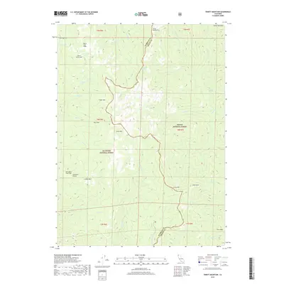
2018 Map of Trinity Mountain
USGS Topo · Published 2018About this map
Trinity Mtn and North Trinity Mtn anchor this high-elevation landscape along the border of Humboldt and Trinity counties. The terrain is defined by a series of dramatic geographic depressions and ridges, including Red Cap Hole, Crogan Hole, and Horse Trail Ridge. Historically significant landmarks such as Graveyard Prairie and Ladder Rock suggest a long human presence in these woods, while the hydrological network of Horse Linto Cr and Red Cap Cr flows through the deep drainages of the Six Rivers National Forest and Trinity National Forest. Genealogists and local historians may find interest in named water sources like One Mile Spring and Deadman Spring, or the cluster of alpine waters at Mill Cr Lakes and Water Dog Lakes. The map clearly delineates the rugged divide of the Salmon Mountains and the varying vegetation patterns of the high country.
Find a feature on this map
42 named features on this map. Tap any name to fly to it.
Don’t see what you’re looking for? This feature index may not catch every label — zoom into the map to look around manually.
Map Details
Editions of this 2018 Trinity Mountain Map
This is the sole edition of this map. No revisions or reprints were ever made.
Other maps of this area

1909 · Big Bar
USGS Topo · 1:96,000

1915 · Big Bar and Vicinity
USGS Topo · 1:250,000

1922 · China Flat
USGS Topo · 1:62,500

1925 · Hoopa
USGS Topo · 1:125,000

1948 · Weed
USGS Topo · 1:250,000

1950 · Weed
USGS Topo · 1:250,000

1951 · Ironside Mountain
USGS Topo · 1:62,500

1952 · Willow Creek
USGS Topo · 1:62,500

1952 · Hoopa
USGS Topo · 1:62,500

1955 · Salmon Mtn
USGS Topo · 1:62,500