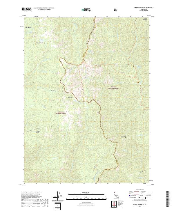
2022 Map of Trinity Mountain
USGS Topo · Published 2022About this map
Graveyard Prairie lies at the heart of this high-elevation mountain landscape, which straddles the boundary between Trinity National Forest and Six Rivers National Forest. The map documents a complex network of ridgelines and water sources, including the distinct Water Dog Lakes and Mill Cr Lakes in the northwest. Local topography is defined by prominent formations such as Horse Trail Ridge and the jagged Devils Backbone, while the drainage basins of Horse Linto Cr and Soldier Cr carve out the interior.
Find a feature on this map
47 named features on this map. Tap any name to fly to it.
Don’t see what you’re looking for? This feature index may not catch every label — zoom into the map to look around manually.
Map Details
Editions of this 2022 Trinity Mountain Map
This is the sole edition of this map. No revisions or reprints were ever made.
Other maps of this area

1909 · Big Bar
USGS Topo · 1:96,000

1915 · Big Bar and Vicinity
USGS Topo · 1:250,000

1922 · China Flat
USGS Topo · 1:62,500

1925 · Hoopa
USGS Topo · 1:125,000

1948 · Weed
USGS Topo · 1:250,000

1950 · Weed
USGS Topo · 1:250,000

1951 · Ironside Mountain
USGS Topo · 1:62,500

1952 · Willow Creek
USGS Topo · 1:62,500

1952 · Hoopa
USGS Topo · 1:62,500

1955 · Salmon Mtn
USGS Topo · 1:62,500