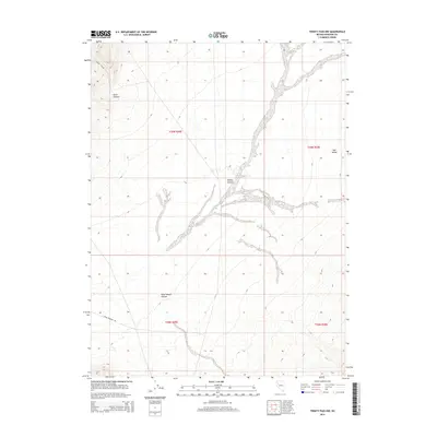
2014 Map of Trinity Pass NW
USGS Topo · Published 2014About this map
Burnt Canyon and the surrounding drainage systems of the Trinity Range define the arid landscape in this Nevada survey. The map details a complex network of seasonal watercourses and topographical folds, including Willow Canyon and Poker Brown Canyon, which cut through the high desert. To the east, the terrain opens into the broader expanse of Sage Valley. Human presence is marked primarily by the Seven Troughs Rd in the southwestern corner, a vital corridor through the rugged foothills. This edition provides a precise view of the Public Land Survey System divisions, showing the boundaries between t30n r29e, t30n r30e, t29n r29e, and t29n r30e.
Find a feature on this map
10 named features on this map. Tap any name to fly to it.
Don’t see what you’re looking for? This feature index may not catch every label — zoom into the map to look around manually.
Map Details
Editions of this 2014 Trinity Pass NW Map
This is the sole edition of this map. No revisions or reprints were ever made.
Other maps of this area

1931 · Lovelock
USGS Topo · 1:250,000

1935 · Lovelock
USGS Topo · 1:250,000

1955 · Lovelock
USGS Topo · 1:250,000

1959 · Lovelock
USGS Topo · 1:250,000
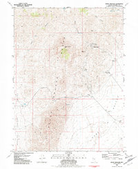
1981 · Seven Troughs
USGS Topo · 1:24,000

1981 · Natchez Spring
USGS Topo · 1:24,000

1981 · Trinity Pass
USGS Topo · 1:24,000
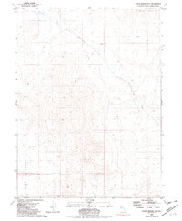
1981 · Poker Brown Gap
USGS Topo · 1:24,000

1981 · Poker Brown Spring
USGS Topo · 1:24,000
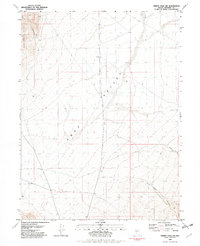
1981 · Trinity Pass NW
USGS Topo · 1:24,000