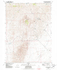
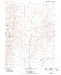
1981 Map of Seven Troughs
USGS Topo · Published 1982About this map
The Seven Troughs Range dominates this Pershing County landscape, where the remnants of early 20th-century mining districts are etched into the high desert. Historical settlements like Seven Troughs, Mazuma, Tunnel Camp, and Vernon appear here as ruins and site markers, recalling the short-lived gold rush that once defined this area. The complex topography includes steep drainages like Seven Troughs Canyon and Wild Horse Canyon, with high points at Signal Peak and Seven Troughs Mtn.
Find a feature on this map
28 named features on this map. Tap any name to fly to it.
Don’t see what you’re looking for? This feature index may not catch every label — zoom into the map to look around manually.
Map Details
Editions of this 1981 Seven Troughs Map
This is the sole edition of this map. No revisions or reprints were ever made.
Other maps of this area

1931 · Lovelock
USGS Topo · 1:250,000

1935 · Lovelock
USGS Topo · 1:250,000

1955 · Lovelock
USGS Topo · 1:250,000

1959 · Lovelock
USGS Topo · 1:250,000

1981 · Bluewing Flat North
USGS Topo · 1:24,000
1981 · Dead Horse Canyon
USGS Topo · 1:24,000

1981 · Trinity Pass
USGS Topo · 1:24,000
1981 · Trinity Pass NW
USGS Topo · 1:24,000
1981 · Seven Troughs SE
USGS Topo · 1:24,000
1982 · Rocky Canyon
USGS Topo · 1:24,000