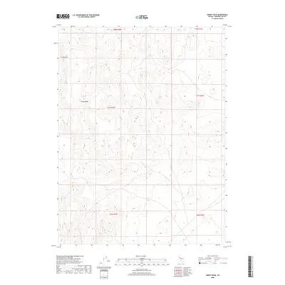
2018 Map of Trinity Peak
USGS Topo · Published 2018About this map
Trinity Peak stands as the primary landmark in this high-desert landscape within the Trinity Range of Pershing County. This 2018 survey reflects the modern topographical state of northwestern Nevada, centered on a series of dramatic elevation changes and dry terrain. The map is primarily structured around the Public Land Survey System grid, covering portions of t28n r29e, t27n r29e, and t26n r29e. While the area is largely devoid of named settlements or man-made structures, the intricate contour lines detail the complex geological formations of the range, providing a precise guide for those navigating this portion of the Great Basin. The cartography emphasizes the natural relief and legal township boundaries that define this part of the Nevada desert.
Find a feature on this map
8 named features on this map. Tap any name to fly to it.
Don’t see what you’re looking for? This feature index may not catch every label — zoom into the map to look around manually.
Map Details
Editions of this 2018 Trinity Peak Map
This is the sole edition of this map. No revisions or reprints were ever made.
Other maps of this area

1931 · Lovelock
USGS Topo · 1:250,000

1935 · Lovelock
USGS Topo · 1:250,000

1955 · Lovelock
USGS Topo · 1:250,000

1956 · Toulon
USGS Topo · 1:62,500

1959 · Lovelock
USGS Topo · 1:250,000
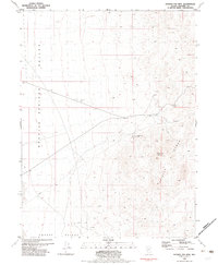
1981 · Ragged Top Mtn
USGS Topo · 1:24,000

1981 · Trinity Pass
USGS Topo · 1:24,000

1981 · Poker Brown Spring
USGS Topo · 1:24,000
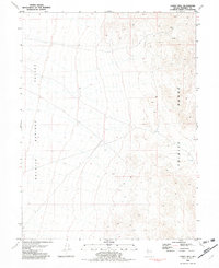
1981 · Lowry Well
USGS Topo · 1:24,000
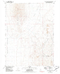
1981 · Seven Troughs SE
USGS Topo · 1:24,000