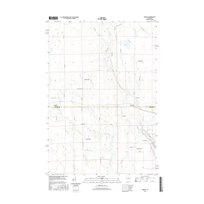
2015 Map of Tripoli
USGS Topo · Published 2015About this map
The settlement of Tripoli sits at the junction of Town Hall Rd and the local highway, marking a key point in the northern Wisconsin landscape where Oneida Co and Lincoln Co meet. This 2015 survey illustrates a region defined by its intricate drainage system, where the Somo River and Little Somo River wind through the township, eventually feeding into Somo Lake in the southeast. The map reveals a dense network of forest roads and fire lanes, such as Kelly Fire Ln and Indian Village Rd, which reflect the area's ongoing relationship with timber and natural resource management.
Find a feature on this map
44 named features on this map. Tap any name to fly to it.
Don’t see what you’re looking for? This feature index may not catch every label — zoom into the map to look around manually.
Map Details
Editions of this 2015 Tripoli Map
This is the sole edition of this map. No revisions or reprints were ever made.
Other maps of this area

1939 · Mc Cord
USGS Topo · 1:48,000

1941 · Brantwood
USGS Topo · 1:48,000

1943 · Brantwood
USGS Topo · 1:48,000

1945 · Rib Lake
USGS Topo · 1:48,000

1947 · Mc Cord
USGS Topo · 1:48,000

1947 · Rib Lake
USGS Topo · 1:48,000

1949 · Rib Lake
USGS Topo · 1:48,000

1950 · Spirit Falls
USGS Topo · 1:48,000

1952 · Spirit Falls
USGS Topo · 1:48,000

1953 · Rice Lake
USGS Topo · 1:250,000