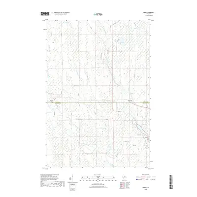
2018 Map of Tripoli
USGS Topo · Published 2018About this map
Tripoli and McCord sit along the dividing line between Oneida and Lincoln counties in this northern Wisconsin survey. The landscape is defined by an intricate network of waterways, including the Somo River, Little Somo River, and the Little Rice River, which weave through the timbered wetlands and glacial terrain. Local infrastructure is evidenced by labels like Wilson School Dr and Depot Rd, indicating the historical community centers and transportation routes that served these small settlements. Numerous creeks such as Landwehr Cr, Brant Cr, and Scott Cr drain the surrounding woods into larger basins like Bass Lake. The map reveals a transition between concentrated community life near the county line and the extensive, sparsely populated forest tracts accessible by local routes like Willow Rd and Indian Village Rd.
Find a feature on this map
40 named features on this map. Tap any name to fly to it.
Don’t see what you’re looking for? This feature index may not catch every label — zoom into the map to look around manually.
Map Details
Editions of this 2018 Tripoli Map
This is the sole edition of this map. No revisions or reprints were ever made.
Other maps of this area

1939 · Mc Cord
USGS Topo · 1:48,000

1941 · Brantwood
USGS Topo · 1:48,000

1943 · Brantwood
USGS Topo · 1:48,000

1945 · Rib Lake
USGS Topo · 1:48,000

1947 · Mc Cord
USGS Topo · 1:48,000

1947 · Rib Lake
USGS Topo · 1:48,000

1949 · Rib Lake
USGS Topo · 1:48,000

1950 · Spirit Falls
USGS Topo · 1:48,000

1952 · Spirit Falls
USGS Topo · 1:48,000

1953 · Rice Lake
USGS Topo · 1:250,000