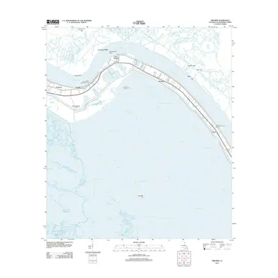
2012 Map of Triumph
USGS Topo · Published 2012About this map
Fort Jackson and Fort Saint Phillip stand as historic sentinels at Plaquemines Bend, marking a critical defensive bottleneck on the Mississippi River. This modern survey reveals the narrow ribbon of habitability in Plaquemines Parish, where the communities of Triumph, Boothville, and Gulftown cling to the river's natural levee. Beyond the engineered protection of the Lower Childress-Fort Jackson Revetment, the landscape dissolves into a complex network of marshes and water bodies like Yellow Cotton Bay and Grand Bayou Carrion Crow. The map documents the vital intersection of regional industry and local geography, from the Fort Jackson Gas Field to the Boothville Cem. Waterways such as the Jurjevich Canal and Colum-Bel Cut highlight how the delta has been carved to facilitate movement between the river and the vast Gulf of Mexico.
Find a feature on this map
58 named features on this map. Tap any name to fly to it.
Don’t see what you’re looking for? This feature index may not catch every label — zoom into the map to look around manually.
Map Details
Editions of this 2012 Triumph Map
This is the sole edition of this map. No revisions or reprints were ever made.
Other maps of this area

1892 · Quarantine
USGS Topo · 1:62,500

1893 · Forts
USGS Topo · 1:62,500

1893 · West Delta
USGS Topo · 1:62,500

1935 · Taylor Pass
USGS Topo · 1:31,680

1935 · Tropical Bend
USGS Topo · 1:31,680

1941 · Empire
USGS Topo · 1:62,500

1944 · Empire
USGS Topo · 1:62,500

1946 · Pass Tante Phine
USGS Topo · 1:31,680

1947 · Buras
USGS Topo · 1:31,680

1947 · Venice
USGS Topo · 1:31,680