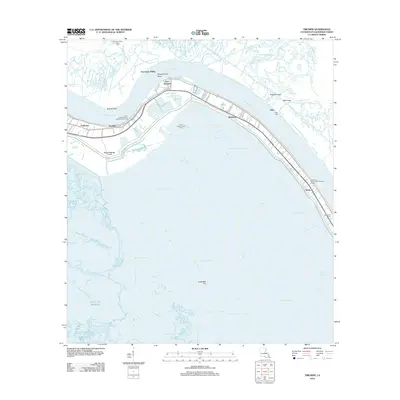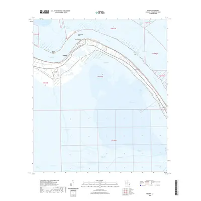
1993 Map of Triumph
USGS Topo · Published 1994About this map
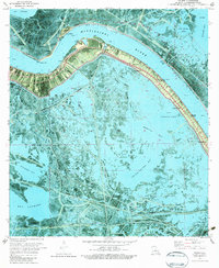
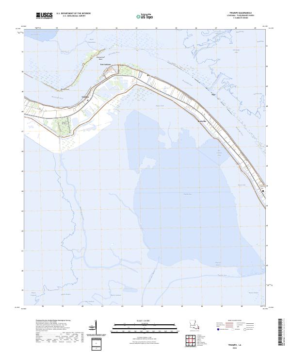
Fort Jackson and Fort St Philip stand as silent sentinels on opposite banks of the Mississippi River, marking a strategic bend in the Plaquemines Parish landscape. This coastal environment is defined by a complex network of waterways, including Petit Liard Bayou, Carrion Crow Bayou, and the Buras Drainage Canal. The settlements of Triumph and Boothville are concentrated along the levee, where a high-density of residential and community structures like Mt Olive Ch and the Boothville-Venice High Sch appear against the backdrop of the surrounding marsh. The map documents the extensive industrial footprint of the energy sector, featuring the Venice Oil Field, numerous Oil Wells, and several pipelines that traverse Yellow Cotton Bay and Bay Jacques. For local historians and genealogists, the inclusion of Boothville Cem and various landmark Ruins provides specific points for tracing family and community heritage in this deltaic region.
Find a feature on this map
46 named features on this map. Tap any name to fly to it.
Don’t see what you’re looking for? This feature index may not catch every label — zoom into the map to look around manually.
Map Details
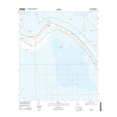
Editions of this 1993 Triumph Map
This is the sole edition of this map. No revisions or reprints were ever made.
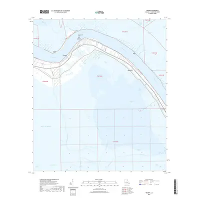
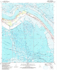
Historical Maps of Boothville Through Time
7 maps found