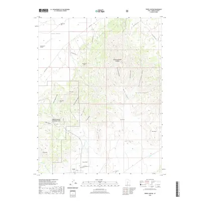
2020 Map of Tropic Canyon
USGS Topo · Published 2020About this map
Tropic sits at the southern edge of the Tropic Valley, where the high Paunsaugunt Plateau gives way to the intricate erosion of the Pink Cliffs. This modern survey reveals the interface between the agricultural valley and the protected landscapes of Bryce Canyon National Park and Dixie National Forest. The map details the drainage patterns of the Paria River and Cedar Fork, which have carved out notable landmarks like The Backbone and the Sinking Ship. For those tracing local heritage, the map identifies the Tropic Cem and the Loseeville Cem, while the Great Western Trail winds through the high country of Johns Valley. The terrain is characterized by deep ravines like Cope Canyon and Paradise Canyon, illustrating the transition from the flatlands of Washboard Flat to the dramatic escarpments of Shakespeare Point.
Find a feature on this map
39 named features on this map. Tap any name to fly to it.
Don’t see what you’re looking for? This feature index may not catch every label — zoom into the map to look around manually.
Map Details
Editions of this 2020 Tropic Canyon Map
This is the sole edition of this map. No revisions or reprints were ever made.
Other maps of this area

1886 · Kanab
USGS Topo · 1:250,000

1886 · Escalante
USGS Topo · 1:250,000

1953 · Cedar City
USGS Topo · 1:250,000

1956 · Escalante
USGS Topo · 1:250,000

1958 · Cedar City
USGS Topo · 1:250,000

1960 · Escalante
USGS Topo · 1:250,000

1962 · Cedar City
USGS Topo · 1:250,000

1964 · Henrieville
USGS Topo · 1:24,000
1964 · Sweetwater Creek
USGS Topo · 1:24,000
1964 · Pine Lake
USGS Topo · 1:24,000