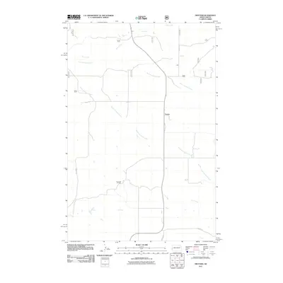
2011 Map of Trotters
USGS Topo · Published 2011About this map
Trotters serves as a central point in this northern Golden Valley County landscape, where the ranching heritage of North Dakota is clearly documented. The map highlights several established agricultural operations, including Gorrell Ranch, Smith Ranch, and Tasker Ranch, illustrating the dispersed settlement pattern characteristic of the western plains. The drainage systems of North Fork Smith Creek and South Fork Smith Creek dominate the central geography, feeding into a network that includes O'Neil Creek and Horse Creek. For genealogists and local historians, the inclusion of South Side Cemetery and secondary routes like Vinquist Rd and Tescher Rd provides specific data points for tracing family landholdings and rural development in the early 21st century.
Find a feature on this map
14 named features on this map. Tap any name to fly to it.
Don’t see what you’re looking for? This feature index may not catch every label — zoom into the map to look around manually.
Map Details
Editions of this 2011 Trotters Map
This is the sole edition of this map. No revisions or reprints were ever made.
Other maps of this area

1909 · Glendive
USGS Topo · 1:250,000

1953 · Watford City
USGS Topo · 1:250,000

1954 · Glendive
USGS Topo · 1:250,000

1957 · Glendive
USGS Topo · 1:250,000

1957 · Watford City
USGS Topo · 1:250,000

1958 · Glendive
USGS Topo · 1:250,000

1967 · Watford City
USGS Topo · 1:250,000

1974 · Hootowl Creek West
USGS Topo · 1:24,000

1974 · Trotters SE
USGS Topo · 1:24,000

1974 · Trotters
USGS Topo · 1:24,000