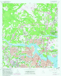
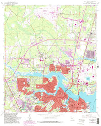
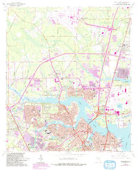
1964 Map of Trout River
USGS Topo · Published 1982About this map
Trout River and the Ribault River wind through the northern reaches of Jacksonville in this survey updated in the early 1980s. The landscape is characterized by established residential subdivisions such as Sherwood Forest, Magnolia Gardens, and Lake Forest Hills, punctuated by numerous civic and religious institutions including St Pauls Ch and Ephesus Academy. The northern half of the map is dominated by the sprawling infrastructure of the Jacksonville International Airport and the State Air National Guard facilities, illustrating the city's mid-century expansion into former woodland.
Find a feature on this map
99 named features on this map. Tap any name to fly to it.
Don’t see what you’re looking for? This feature index may not catch every label — zoom into the map to look around manually.
Map Details
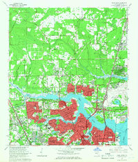
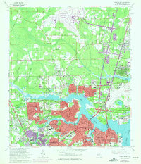
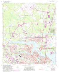
Editions of this 1964 Trout River Map
6 editions found
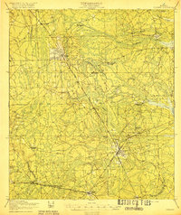
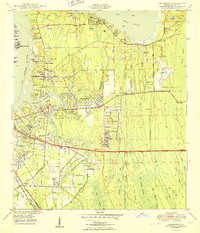
Other maps of this area

1917 · Cambon
USGS Topo · 1:62,500

1917 · Hilliard
USGS Topo · 1:62,500

1918 · St Marys
USGS Topo · 1:62,500

1918 · Cambon
USGS Topo · 1:62,500

1918 · Jacksonville
USGS Topo · 1:62,500

1919 · St Marys
USGS Topo · 1:62,500
1919 · Hilliard
USGS Topo · 1:62,500

1948 · Jacksonville
USGS Topo · 1:250,000

1948 · Eastport
USGS Topo · 1:24,000
1950 · Arlington
USGS Topo · 1:24,000
Featured Places
- Jacksonville, FL
- Lake Park Estates, Jacksonville
- Lake Forest Manor, Jacksonville
- Garden City, Jacksonville
- Oakhurst, Jacksonville