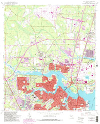
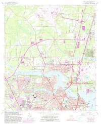
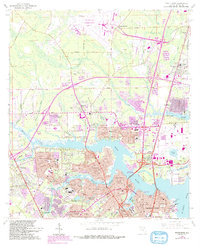
1964 Map of Trout River
USGS Topo · Published 1992About this map
The Trout River and its many winding tributaries like Cedar Creek and Ribault River dominate this coastal landscape north of Jacksonville. During the mid-1960s, this area was a mix of established residential neighborhoods and significant institutional footprints. To the north, the sprawling Jacksonville International Airport and States Air National Guard facility mark the era's infrastructure growth. Neighborhoods such as Riverview, Lake Forest, and Sherwood Forest show dense suburban development, while the Seaboard Coast Line railroad facilitates transport through communities like Dinsmore. For genealogists and local historians, the map is a vital resource for locating numerous burial grounds, including the Restlawn Mem Park, the Duval County Paupers Cem, and several smaller cemeteries like Mt Olive Cem and Pickett Cem. The riverfront is also home to the Jacksonville Zoo and the US Navy Fuel Depot, reflecting the region's diverse recreational and military utility.
Find a feature on this map
92 named features on this map. Tap any name to fly to it.
Don’t see what you’re looking for? This feature index may not catch every label — zoom into the map to look around manually.
Map Details
Editions of this 1964 Trout River Map
6 editions found
Other maps of this area

1917 · Cambon
USGS Topo · 1:62,500

1917 · Hilliard
USGS Topo · 1:62,500

1918 · St Marys
USGS Topo · 1:62,500

1918 · Cambon
USGS Topo · 1:62,500

1918 · Jacksonville
USGS Topo · 1:62,500

1919 · St Marys
USGS Topo · 1:62,500

1919 · Hilliard
USGS Topo · 1:62,500

1948 · Jacksonville
USGS Topo · 1:250,000

1948 · Eastport
USGS Topo · 1:24,000

1950 · Arlington
USGS Topo · 1:24,000
Featured Places
- Jacksonville, FL
- Lake Park Estates, Jacksonville
- Lake Forest Manor, Jacksonville
- Garden City, Jacksonville
- Oakhurst, Jacksonville