Loading...
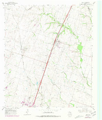
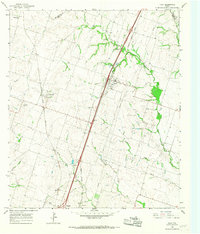
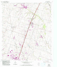
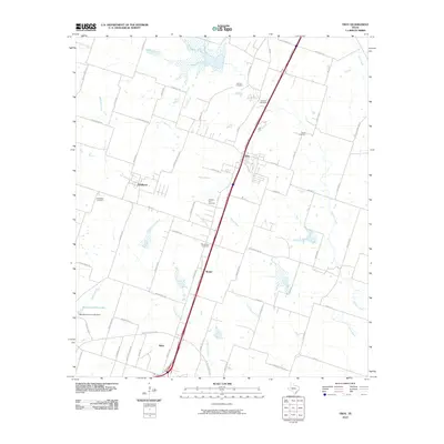
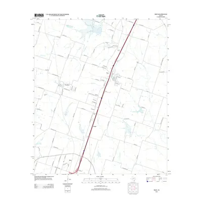
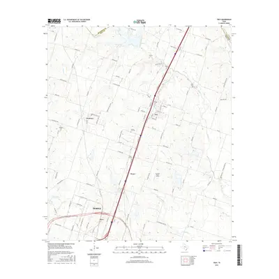
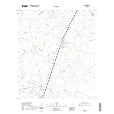
Loading map...1965 Map of Troy
USGS Topo · Published 1979About this map
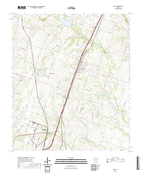
Agricultural lands and rail corridors define this central Texas landscape where Troy and Pendleton serve as primary hubs. The area is marked by a network of drainage systems including Big Elm Creek and Little Elm Creek, which cut through the rolling terrain. Transportation is dominated by two significant rail lines, the Missouri Kansas Texas and the Atchison Topeka and Santa Fe, reflecting the region's importance as a transit corridor between major Texas cities.
Find a feature on this map
28 named features on this map. Tap any name to fly to it.
Don’t see what you’re looking for? This feature index may not catch every label — zoom into the map to look around manually.
Map Details
Date Portrayed1965
Date Published1979
PublisherU.S. Geological Survey
Map TypeTopographic
Scale1:24,000
Physical Dimensions23 x 27 inches
Editions of this 1965 Troy Map
Historical Maps of Temple Through Time
6 maps found
Featured Locations
Source Details
SourceU.S. Geological Survey
CopyrightPublic Domain