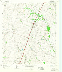
1965 Map of Troy
USGS Topo · Published 1967About this map
Troy serves as the focal point of this mid-1960s survey, where the Missouri Kansas Texas railroad bisects the landscape alongside a burgeoning interstate corridor. The region's agricultural and social foundations are evidenced by a high density of burial grounds and rural hubs, including the Old Troy Cem, Shiloh Cem, and Mt Zion Cem. To the west, the Atchison Topeka and Santa Fe line anchors the settlement of Pendleton, which features its own Community Center and the nearby Pendleton Cem.
Find a feature on this map
28 named features on this map. Tap any name to fly to it.
Don’t see what you’re looking for? This feature index may not catch every label — zoom into the map to look around manually.
Map Details
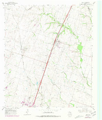
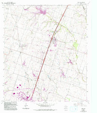
Editions of this 1965 Troy Map
Other maps of this area

1892 · Temple
USGS Topo · 1:125,000

1924 · Temple 2-C
USGS Topo · 1:48,000

1924 · Temple 3-C
USGS Topo · 1:48,000

1924 · Temple 3-B
USGS Topo · 1:48,000

1931 · Mc Gregor
USGS Topo · 1:62,500

1931 · Belton
USGS Topo · 1:62,500

1954 · Waco
USGS Topo · 1:250,000

1955 · Waco
USGS Topo · 1:250,000

1957 · Bruceville
USGS Topo · 1:24,000
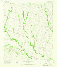
1963 · Seaton
USGS Topo · 1:24,000