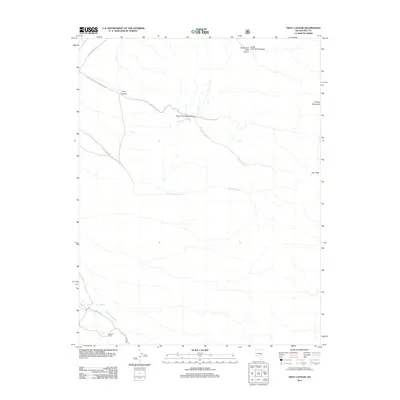
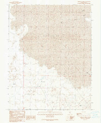
2012 Map of Troy Canyon
USGS Topo · Published 2012About this map
Troy Peak and Timber Mountain dominate this high-desert landscape in northeastern Nye County, where deep drainages like Troy Canyon carve through the terrain. The map captures a region defined by sparse water sources and isolated ranching outposts, notably the Bordoli Ranch situated near the southern boundary along Bordoli Cr. This area is characterized by its complex network of seasonal washes and forks, including the North Fork Troy Canyon and Little Meadows Cr.
Find a feature on this map
21 named features on this map. Tap any name to fly to it.
Don’t see what you’re looking for? This feature index may not catch every label — zoom into the map to look around manually.
Map Details
Editions of this 2012 Troy Canyon Map
This is the sole edition of this map. No revisions or reprints were ever made.
Other maps of this area

1956 · Lund
USGS Topo · 1:250,000

1960 · Lund
USGS Topo · 1:250,000

1964 · Troy Canyon
USGS Topo · 1:62,500

1964 · Forest Home
USGS Topo · 1:62,500

1985 · Adaven
USGS Topo · 1:24,000
1985 · Water Gap NW
USGS Topo · 1:24,000
1985 · Nyala
USGS Topo · 1:24,000

1988 · Quinn Canyon Range
USGS Topo · 1:100,000
1990 · Troy Canyon
USGS Topo · 1:24,000
1990 · Christian Spring
USGS Topo · 1:24,000