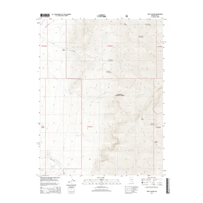
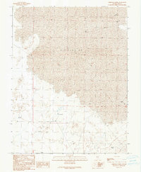
2014 Map of Troy Canyon
USGS Topo · Published 2014About this map
The Grant Range dominates this portion of the Humboldt National Forest in eastern Nevada, where high-elevation drainage systems define the landscape. Deep drainages like Troy Canyon, Irwin Canyon, and Rimrock Canyon carve through the mountains, carrying seasonal flows into the valleys via Troy Cr and Little Meadows Cr. The map captures the intersection of steep mountain topography and the limited infrastructure of the high desert, centered around a handful of established access points and natural water sources.
Find a feature on this map
26 named features on this map. Tap any name to fly to it.
Don’t see what you’re looking for? This feature index may not catch every label — zoom into the map to look around manually.
Map Details
Editions of this 2014 Troy Canyon Map
This is the sole edition of this map. No revisions or reprints were ever made.
Other maps of this area

1956 · Lund
USGS Topo · 1:250,000

1960 · Lund
USGS Topo · 1:250,000

1964 · Troy Canyon
USGS Topo · 1:62,500

1964 · Forest Home
USGS Topo · 1:62,500

1985 · Adaven
USGS Topo · 1:24,000
1985 · Water Gap NW
USGS Topo · 1:24,000
1985 · Nyala
USGS Topo · 1:24,000

1988 · Quinn Canyon Range
USGS Topo · 1:100,000
1990 · Troy Canyon
USGS Topo · 1:24,000
1990 · Christian Spring
USGS Topo · 1:24,000