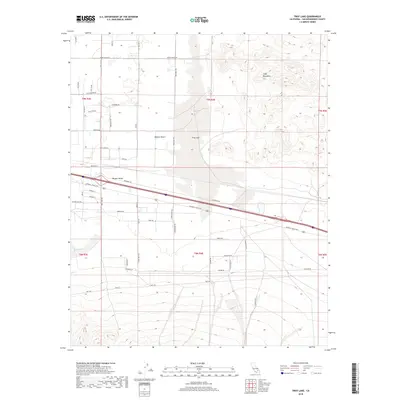
2018 Map of Troy Lake
USGS Topo · Published 2018About this map
Troy Lake dominates the central basin of this arid landscape, situated within the Mojave Desert east of Newberry Springs. The terrain is defined by the sharp contrast between the flat alkali floor of the Mojave Valley and the rising slopes of the Cady Mountains to the northeast. This 2018 survey captures a complex network of local desert roads, such as Fort Cady Rd and Silver Valley Rd, which crisscross the valley floor. Transportation history is prominent along the southern corridor, where the National Trails Hwy follows the historical path of Route 66 alongside the interstate. Hydrological features like Kane Wash provide insight into the drainage patterns of the region, while named routes like Holcomb Trl and Cherokee Rd mark the modern rural residential and utility layout of San Bernardino County's high desert.
Find a feature on this map
47 named features on this map. Tap any name to fly to it.
Don’t see what you’re looking for? This feature index may not catch every label — zoom into the map to look around manually.
Map Details
Editions of this 2018 Troy Lake Map
This is the sole edition of this map. No revisions or reprints were ever made.
Other maps of this area

1953 · San Bernardino
USGS Topo · 1:250,000

1955 · Silver Bell Mine
USGS Topo · 1:24,000

1955 · Sunshine Peak
USGS Topo · 1:24,000

1955 · Newberry
USGS Topo · 1:62,500

1955 · Lavic
USGS Topo · 1:62,500

1955 · Cady Mountains
USGS Topo · 1:62,500

1955 · Rodman Mountains
USGS Topo · 1:62,500

1956 · San Bernardino
USGS Topo · 1:250,000

1957 · San Bernardino
USGS Topo · 1:250,000

1958 · San Bernardino
USGS Topo · 1:250,000