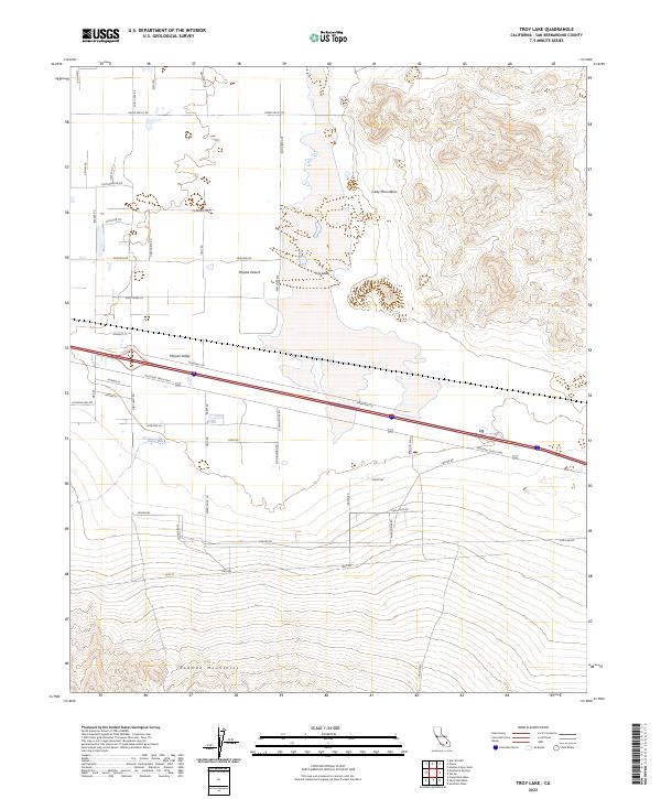
2023 Map of Troy Lake
USGS Topo · Published 2023About this map
Troy Lake dominates the central basin of this arid expanse, where the Mojave Desert meets the rising elevations of the Cady Mountains to the northeast and the Rodman Mountains to the south. This landscape is defined by its transit corridors, most notably the National Trails Hwy, which follows the low ground of the Mojave Valley. The southern portion of the map is largely protected within the Rodman Mountains Wilderness, preserving a stark topography of desert peaks and washes such as Kane Wash. Settlement is sparse and linear, oriented primarily along established routes like Silver Valley Rd and Center Rd, reflecting a region where the environment dictates the patterns of human presence and movement.
Find a feature on this map
32 named features on this map. Tap any name to fly to it.
Don’t see what you’re looking for? This feature index may not catch every label — zoom into the map to look around manually.
Map Details
Editions of this 2023 Troy Lake Map
This is the sole edition of this map. No revisions or reprints were ever made.
Other maps of this area

1953 · San Bernardino
USGS Topo · 1:250,000

1955 · Silver Bell Mine
USGS Topo · 1:24,000

1955 · Sunshine Peak
USGS Topo · 1:24,000

1955 · Newberry
USGS Topo · 1:62,500

1955 · Lavic
USGS Topo · 1:62,500

1955 · Cady Mountains
USGS Topo · 1:62,500

1955 · Rodman Mountains
USGS Topo · 1:62,500

1956 · San Bernardino
USGS Topo · 1:250,000

1957 · San Bernardino
USGS Topo · 1:250,000

1958 · San Bernardino
USGS Topo · 1:250,000