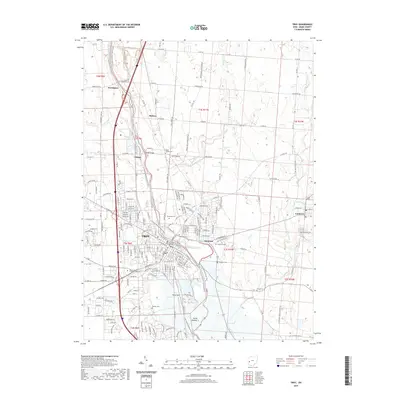
2019 Map of Troy
USGS Topo · Published 2019About this map
Troy serves as the focal point of this Miami County study, showing the city's modern layout and its connection to surrounding townships and villages. The city's growth is framed by its proximity to the Great Miami River, where landmarks like Riverside Cem and Rose Hill Cem sit near the water. The landscape is characterized by a mix of municipal infrastructure, such as the Miami County Safety Building, and educational sites like Miami-Jacobs Career College Troy.
Find a feature on this map
84 named features on this map. Tap any name to fly to it.
Don’t see what you’re looking for? This feature index may not catch every label — zoom into the map to look around manually.
Map Details
Editions of this 2019 Troy Map
This is the sole edition of this map. No revisions or reprints were ever made.
Other maps of this area

1904 · Dayton
USGS Topo · 1:62,500

1905 · Brookville
USGS Topo · 1:62,500

1906 · Dayton
USGS Topo · 1:62,500

1911 · Covington
USGS Topo · 1:62,500

1914 · Troy
USGS Topo · 1:62,500

1944 · Covington
USGS Topo · 1:62,500

1944 · Troy
USGS Topo · 1:62,500

1953 · Cincinnati
USGS Topo · 1:250,000

1953 · Muncie
USGS Topo · 1:250,000

1955 · West Milton
USGS Topo · 1:24,000