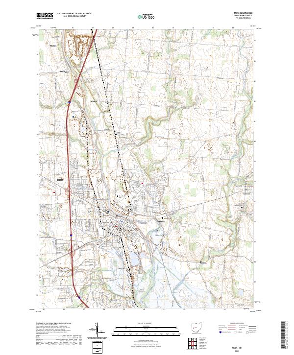
2023 Map of Troy
USGS Topo · Published 2023About this map
The Great Miami River valley dominates this portion of Miami County, serving as the primary corridor for regional development between Troy and Piqua. The landscape is characterized by a dense network of country roads connecting established agricultural settlements like Staunton and Casstown. Significant local history is preserved in numerous burial grounds, including the Old Blue Cem and Raper Chapel Cem, while the modern administrative presence is marked by the Miami County Safety Building.
Find a feature on this map
63 named features on this map. Tap any name to fly to it.
Don’t see what you’re looking for? This feature index may not catch every label — zoom into the map to look around manually.
Map Details
Editions of this 2023 Troy Map
This is the sole edition of this map. No revisions or reprints were ever made.
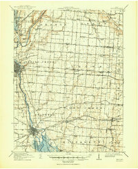
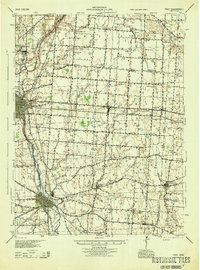
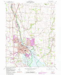
Historical Maps of Midway Through Time
4 maps found