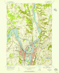
1954 Map of Troy North
USGS Topo · Published 1956About this map
The confluence of the Hudson -- Champlain -- Canal -- River and the Mohawk River anchors this 1954 survey, illustrating the industrial and navigational importance of the Capital District. The city of Troy and the village of Waterford are shown in dense detail, connected by the Delaware and Hudson railroad and numerous bridges across the river islands. Large tracts of cemetery land, such as Oakwood Cemetery and Waterford Rural Cem, border the residential areas, while the landscape rises towards Bald Mountain in the northeast.
Find a feature on this map
58 named features on this map. Tap any name to fly to it.
Don’t see what you’re looking for? This feature index may not catch every label — zoom into the map to look around manually.
Map Details
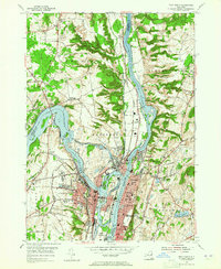
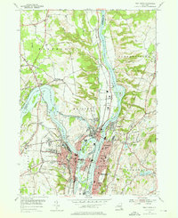
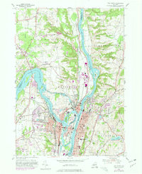
Editions of this 1954 Troy North Map
4 editions found
Other maps of this area

1893 · Cohoes
USGS Topo · 1:62,500

1893 · Troy
USGS Topo · 1:62,500

1893 · Schenectady
USGS Topo · 1:62,500

1893 · Albany
USGS Topo · 1:62,500

1895 · Troy
USGS Topo · 1:62,500

1895 · Cohoes
USGS Topo · 1:62,500

1895 · Albany
USGS Topo · 1:62,500

1895 · Schenectady
USGS Topo · 1:62,500

1898 · Schenectady
USGS Topo · 1:62,500

1898 · Albany
USGS Topo · 1:62,500