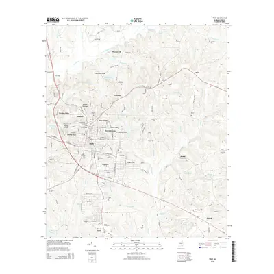
2014 Map of Troy
USGS Topo · Published 2014About this map
The Troy municipal area and its surrounding Pike County landscape are defined by a complex network of small creek drainages and a well-established academic footprint centered on Troy Univ. The city is surrounded by a ring of residential developments such as Mountainbrook, College Park, and Green Oaks, reflecting the modern expansion of this regional hub. Beyond the immediate city limits, the terrain transitions into more open country marked by agricultural legacies like Elmhill Plantation and smaller settlements such as McClure Town and Antioch.
Find a feature on this map
157 named features on this map. Tap any name to fly to it.
Don’t see what you’re looking for? This feature index may not catch every label — zoom into the map to look around manually.
Map Details
Editions of this 2014 Troy Map
This is the sole edition of this map. No revisions or reprints were ever made.
Other maps of this area

1948 · Brundidge
USGS Topo · 1:62,500

1950 · Brundidge
USGS Topo · 1:62,500

1953 · Andalusia
USGS Topo · 1:250,000

1953 · Dothan
USGS Topo · 1:250,000

1954 · Dothan
USGS Topo · 1:250,000

1955 · Dothan
USGS Topo · 1:250,000

1957 · Andalusia
USGS Topo · 1:250,000

1960 · Brundidge
USGS Topo · 1:24,000

1960 · Brundidge NW
USGS Topo · 1:24,000

1962 · Brundidge
USGS Topo · 1:25,000