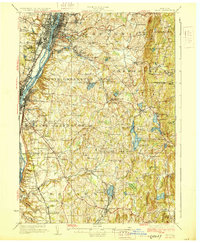
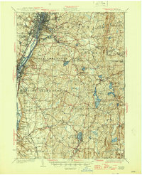
1928 Map of Troy
USGS Topo · Published 1928About this map
The Hudson River corridor and its industrial expansion define this late 1920s survey, showing the dense urban centers of Troy and Watervliet connected by the historic Erie Canal. The landscape is marked by a significant concentration of communal sites, including the Rensselaer Polytechnic Institute and numerous burial grounds such as St Patricks Cemetery and Albany Rural Cemetery. Moving east from the river, the terrain transitions into the upland regions of Grafton and Nassau.
Find a feature on this map
134 named features on this map. Tap any name to fly to it.
Don’t see what you’re looking for? This feature index may not catch every label — zoom into the map to look around manually.
Map Details
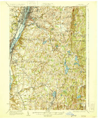
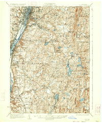
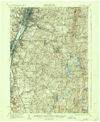
Editions of this 1928 Troy Map
5 editions found
Other maps of this area

1888 · Berlin
USGS Topo · 1:62,500

1888 · Pittsfield
USGS Topo · 1:62,500

1890 · Pittsfield
USGS Topo · 1:62,500

1890 · Berlin
USGS Topo · 1:62,500

1893 · Cohoes
USGS Topo · 1:62,500

1893 · Troy
USGS Topo · 1:62,500

1893 · Schenectady
USGS Topo · 1:62,500

1893 · Coxsackie
USGS Topo · 1:62,500

1893 · Pittsfield
USGS Topo · 1:62,500

1893 · Albany
USGS Topo · 1:62,500