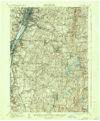
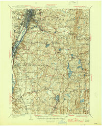
1928 Map of Troy
USGS Topo · Published 1937About this map
Troy and Watervliet anchor this mid-1920s landscape, where the Hudson River and a lingering section of the Erie Canal define the industrial corridor. The urban density of the riverside, including the campus of Rensselaer Polytechnic Institute and numerous sprawling burial grounds like Albany Rural Cemetery, quickly gives way to the high, rolling terrain of the Taconic foothills. Moving east into Sandlake and Nassau, the map reveals a shift toward recreation and rural industry. The presence of YMCA Camp and Totem Lodge near Burden Lake reflects the area's development as a seasonal retreat for city residents. Transportation networks are prominent, from the Delaware and Hudson RR along the river to the Adirondack Power Corp lines cutting through the hills near Wynantskill and Eagle Mills.
Find a feature on this map
130 named features on this map. Tap any name to fly to it.
Don’t see what you’re looking for? This feature index may not catch every label — zoom into the map to look around manually.
Map Details
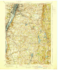
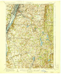
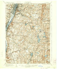
Editions of this 1928 Troy Map
5 editions found
Other maps of this area

1888 · Berlin
USGS Topo · 1:62,500

1888 · Pittsfield
USGS Topo · 1:62,500

1890 · Pittsfield
USGS Topo · 1:62,500

1890 · Berlin
USGS Topo · 1:62,500

1893 · Cohoes
USGS Topo · 1:62,500

1893 · Troy
USGS Topo · 1:62,500

1893 · Schenectady
USGS Topo · 1:62,500

1893 · Coxsackie
USGS Topo · 1:62,500

1893 · Pittsfield
USGS Topo · 1:62,500

1893 · Albany
USGS Topo · 1:62,500