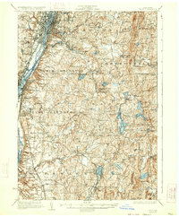
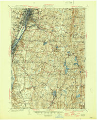
1928 Map of Troy
USGS Topo · Published 1933About this map
Troy and its industrial surroundings along the Hudson River dominate this mid-1920s landscape, where the Erie Canal and New York Central railroad infrastructure facilitated a dense network of commerce and education, anchored by the Rensselaer Polytechnic Institute. The map captures the transition from the urban centers of Watervliet and Cohoes into the rural townships of Brunswick and Sandlake, where numerous numbered schoolhouses like School No 12 and School No 14 dot the rolling hills.
Find a feature on this map
121 named features on this map. Tap any name to fly to it.
Don’t see what you’re looking for? This feature index may not catch every label — zoom into the map to look around manually.
Map Details
Editions of this 1928 Troy Map
5 editions found
Other maps of this area

1888 · Berlin
USGS Topo · 1:62,500

1888 · Pittsfield
USGS Topo · 1:62,500

1890 · Pittsfield
USGS Topo · 1:62,500

1890 · Berlin
USGS Topo · 1:62,500

1893 · Cohoes
USGS Topo · 1:62,500

1893 · Troy
USGS Topo · 1:62,500

1893 · Schenectady
USGS Topo · 1:62,500

1893 · Coxsackie
USGS Topo · 1:62,500

1893 · Pittsfield
USGS Topo · 1:62,500

1893 · Albany
USGS Topo · 1:62,500