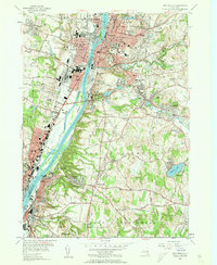
1953 Map of Troy South
USGS Topo · Published 1961About this map
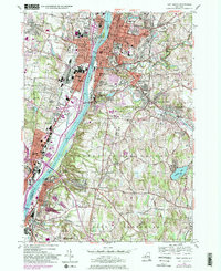
Industrial and educational centers dominate the shores of the Hudson River in this mid-century survey. On the western bank, the extensive grounds of the Watervliet Arsenal and the Albany Rural Cemetery mark the landscape between Watervliet and Menands. Across the water in Troy, the campus of Rensselaer Polytechnic Institute sits perched above the city center, while Emma Willard College and the Griswold High Sch occupy the higher ground near Smarts Pond. The intricate drainage of the Poesten Kill and Wynants Kill illustrates the rugged hydrological setting that powered the region's earlier industrial growth. To the south, the terrain shifts into the residential and agricultural reaches of North Greenbush and East Greenbush, where Snyders Lake and Defreestville offer a contrast to the dense urban grids of Rensselaer and the neighboring river towns.
Find a feature on this map
93 named features on this map. Tap any name to fly to it.
Don’t see what you’re looking for? This feature index may not catch every label — zoom into the map to look around manually.
Map Details
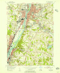
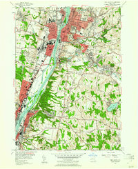
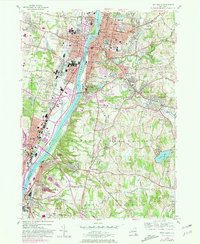
Editions of this 1953 Troy South Map
5 editions found
Other maps of this area

1893 · Cohoes
USGS Topo · 1:62,500

1893 · Troy
USGS Topo · 1:62,500

1893 · Schenectady
USGS Topo · 1:62,500

1893 · Albany
USGS Topo · 1:62,500

1895 · Troy
USGS Topo · 1:62,500

1895 · Cohoes
USGS Topo · 1:62,500

1895 · Albany
USGS Topo · 1:62,500

1895 · Schenectady
USGS Topo · 1:62,500

1898 · Schenectady
USGS Topo · 1:62,500

1898 · Albany
USGS Topo · 1:62,500