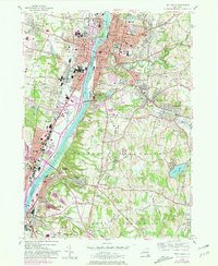
1953 Map of Troy South
USGS Topo · Published 1981About this map
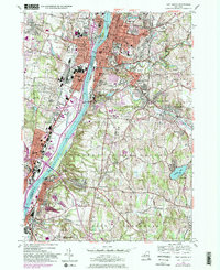
The Hudson River serves as the central artery for this mid-century look at the industrial and educational core of eastern New York. To the east, the city of Troy rises from the riverbank, defined by institutional landmarks such as Rensselaer Polytechnic Institute and the sprawling campus of Emma Willard College. The map illustrates a dense concentration of religious and educational sites, including St Anthony Seminary and numerous parochial schools like St Bridget Sch, reflecting the community's mid-century social fabric.
Find a feature on this map
91 named features on this map. Tap any name to fly to it.
Don’t see what you’re looking for? This feature index may not catch every label — zoom into the map to look around manually.
Map Details
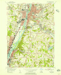
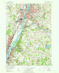
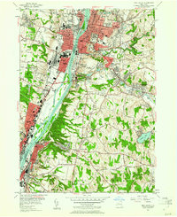
Editions of this 1953 Troy South Map
5 editions found
Other maps of this area

1893 · Cohoes
USGS Topo · 1:62,500

1893 · Troy
USGS Topo · 1:62,500

1893 · Schenectady
USGS Topo · 1:62,500

1893 · Albany
USGS Topo · 1:62,500

1895 · Troy
USGS Topo · 1:62,500

1895 · Cohoes
USGS Topo · 1:62,500

1895 · Albany
USGS Topo · 1:62,500

1895 · Schenectady
USGS Topo · 1:62,500

1898 · Schenectady
USGS Topo · 1:62,500

1898 · Albany
USGS Topo · 1:62,500