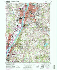
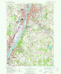
1953 Map of Troy South
USGS Topo · Published 1984About this map
The Hudson River corridor serves as the industrial and civic spine of this mid-century New York landscape, separating the densely settled grid of Troy and Rensselaer from the western bank developments of Watervliet and Menands. Large-scale institutional land use is a defining characteristic of the era, visible in the sprawling grounds of the Albany Rural Cemetery and the campuses of Rensselaer Polytechnic Institute and Emma Willard College.
Find a feature on this map
91 named features on this map. Tap any name to fly to it.
Don’t see what you’re looking for? This feature index may not catch every label — zoom into the map to look around manually.
Map Details
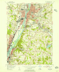
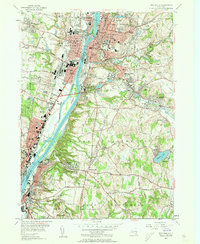
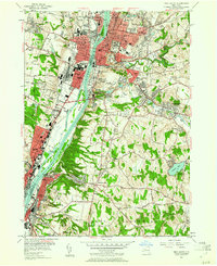
Editions of this 1953 Troy South Map
5 editions found
Other maps of this area

1893 · Cohoes
USGS Topo · 1:62,500

1893 · Troy
USGS Topo · 1:62,500

1893 · Schenectady
USGS Topo · 1:62,500

1893 · Albany
USGS Topo · 1:62,500

1895 · Troy
USGS Topo · 1:62,500

1895 · Cohoes
USGS Topo · 1:62,500

1895 · Albany
USGS Topo · 1:62,500

1895 · Schenectady
USGS Topo · 1:62,500

1898 · Schenectady
USGS Topo · 1:62,500

1898 · Albany
USGS Topo · 1:62,500