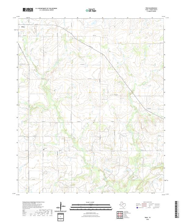
2022 Map of True
USGS Topo · Published 2022About this map
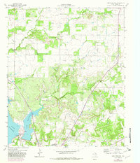
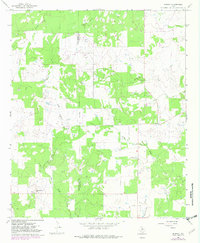
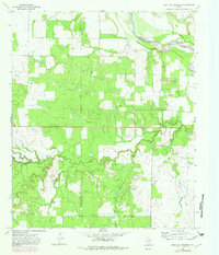
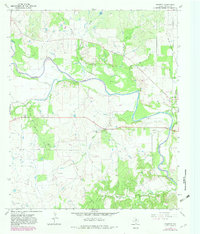
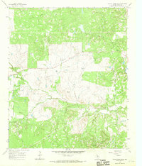
True Cem stands as a quiet focal point in this portion of rural Young County, situated near the intersection of True Rd and Medlen Rd. The landscape is defined by an intricate network of seasonal drainage, with Salt Cr and its tributaries, such as Red Haw Cr and Willow Pond Cr, carving through the terrain. To the north, the outskirts of Olney mark the transition from town to open ranch land. The road network, including Pringle Rothell Rd and Rodgers Rd, reveals a persistent grid pattern of land ownership and agricultural use. Local history is etched into the names of these routes, which often reflect the families who established the homesteads and ranches along Dry Cr and White Water Cr over several generations.
Find a feature on this map
34 named features on this map. Tap any name to fly to it.
Don’t see what you’re looking for? This feature index may not catch every label — zoom into the map to look around manually.
Map Details
Editions of this 2022 True Map
This is the sole edition of this map. No revisions or reprints were ever made.
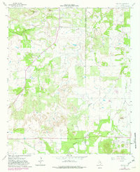
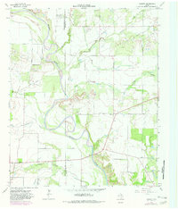
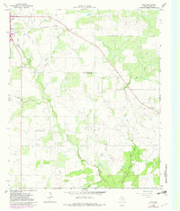
Historical Maps of True Through Time
25 maps found
1924 Breckenridge 1-a
Young County, TX
1924 Graham 4-d
Young County, TX
1925 Graham 4-c
Young County, TX
1964 Lake Eddleman
Young County, TX
1964 Markley
Young County, TX
1964 Padgett
Young County, TX
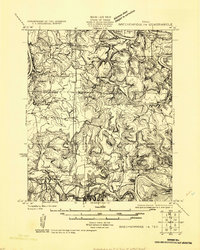
1964 True
Young County, TX
1966 Murray
Young County, TX
1966 Proffitt Crossing
Young County, TX
1966 Proffitt
Young County, TX
1966 Tackett Mountain
Young County, TX
1967 Cove Creek
Young County, TX
1967 Ross Mountain
Young County, TX
1967 South Bend
Young County, TX
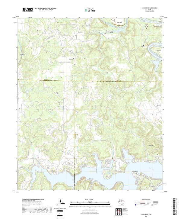
2022 Cove Creek
Young County, TX
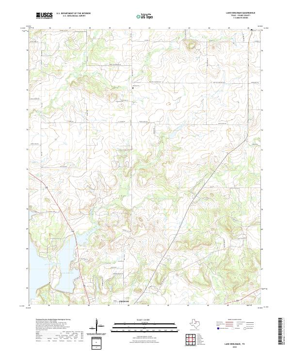
2022 Lake Eddleman
Young County, TX
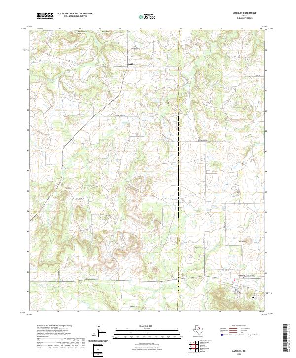
2022 Markley
Young County, TX
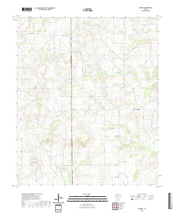
2022 Murray
Young County, TX
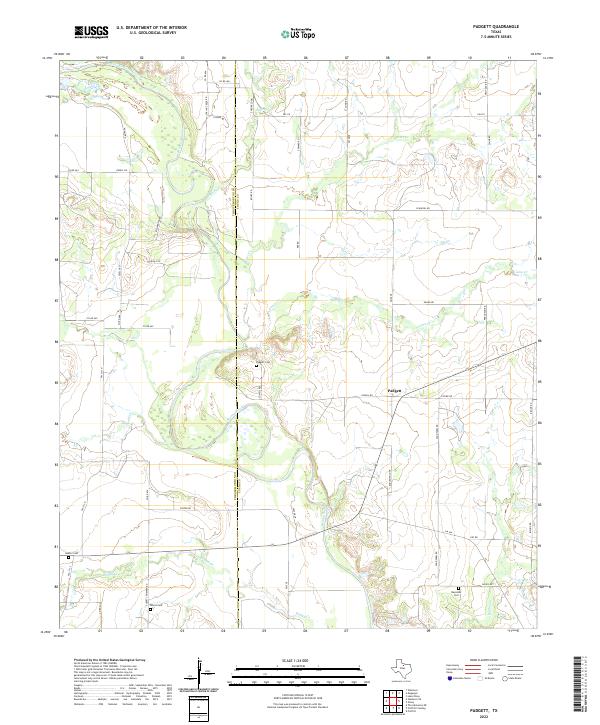
2022 Padgett
Young County, TX
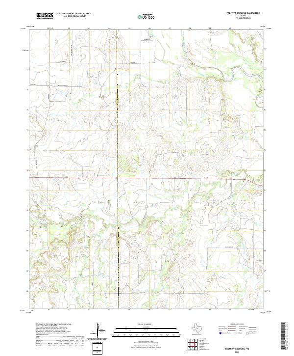
2022 Proffitt Crossing
Young County, TX
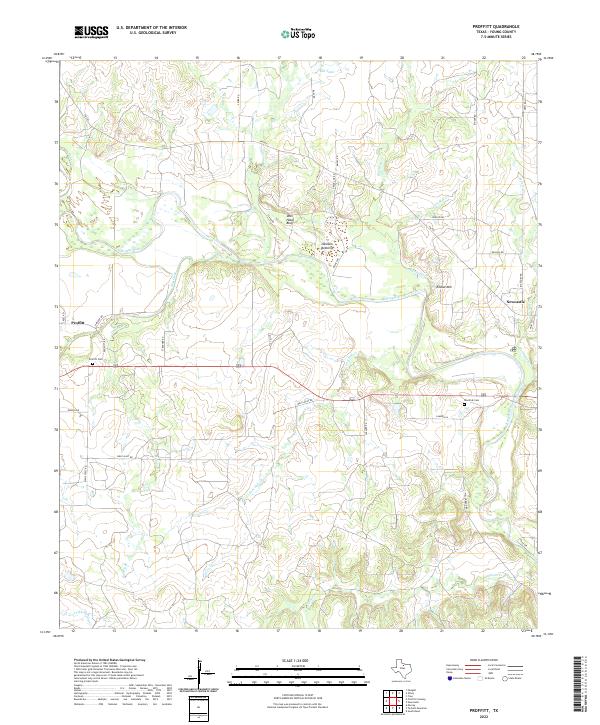
2022 Proffitt
Young County, TX
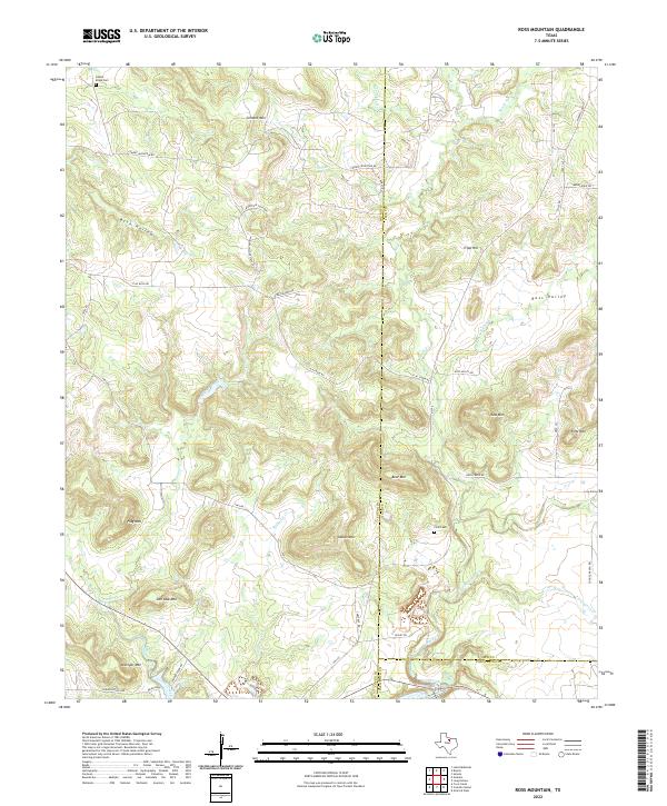
2022 Ross Mountain
Young County, TX
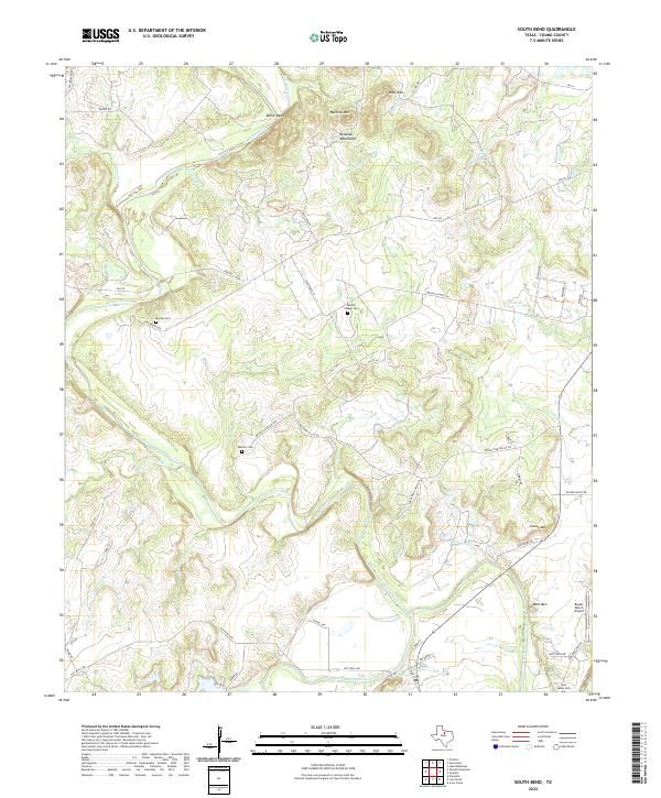
2022 South Bend
Young County, TX

2022 Tackett Mountain
Young County, TX
2022 True
Young County, TX