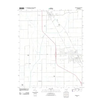
2011 Map of Trumann
USGS Topo · Published 2011About this map
The town of Trumann serves as the primary hub of this Poinsett County landscape, which transitions from a structured urban grid into a vast network of agricultural allotments and rural crossroads. The corridor following HWY 463 and Old HWY 63 connects the larger settlement of Bay in the north to the industrial and residential outskirts of Dobell and the Trumann city center. This area is characterized by a high density of named rural locales and landmarks that reflect a long history of community settlement patterns across the Arkansas Delta.
Find a feature on this map
90 named features on this map. Tap any name to fly to it.
Don’t see what you’re looking for? This feature index may not catch every label — zoom into the map to look around manually.
Map Details
Editions of this 2011 Trumann Map
This is the sole edition of this map. No revisions or reprints were ever made.
Other maps of this area

1939 · Jonesboro
USGS Topo · 1:62,500

1940 · Dee
USGS Topo · 1:62,500

1941 · Leachville
USGS Topo · 1:62,500

1941 · Marked Tree
USGS Topo · 1:62,500

1953 · Memphis
USGS Topo · 1:250,000

1956 · Leachville
USGS Topo · 1:62,500

1956 · Marked Tree
USGS Topo · 1:62,500

1956 · Memphis
USGS Topo · 1:250,000

1958 · Dee
USGS Topo · 1:62,500

1958 · Jonesboro
USGS Topo · 1:62,500