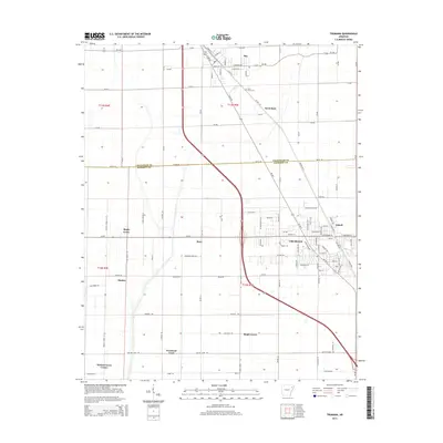
2014 Map of Trumann
USGS Topo · Published 2014About this map
Trumann serves as the primary urban hub on this Arkansas Delta landscape, situated south of the Craighead Co Poinsett Co line. The settlement pattern reveals a transition from the concentrated grid of the city to scattered rural communities and agricultural crossroads. Local heritage is preserved in place names like Shady Grove, Promised Land, and Walnut Grove Corner, reflecting a history of land clearing and small-town development.
Find a feature on this map
110 named features on this map. Tap any name to fly to it.
Don’t see what you’re looking for? This feature index may not catch every label — zoom into the map to look around manually.
Map Details
Editions of this 2014 Trumann Map
This is the sole edition of this map. No revisions or reprints were ever made.
Other maps of this area
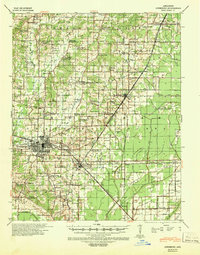
1939 · Jonesboro
USGS Topo · 1:62,500
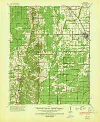
1940 · Dee
USGS Topo · 1:62,500
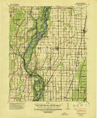
1941 · Leachville
USGS Topo · 1:62,500

1941 · Marked Tree
USGS Topo · 1:62,500

1953 · Memphis
USGS Topo · 1:250,000
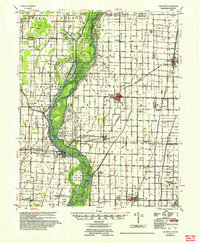
1956 · Leachville
USGS Topo · 1:62,500
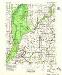
1956 · Marked Tree
USGS Topo · 1:62,500

1956 · Memphis
USGS Topo · 1:250,000
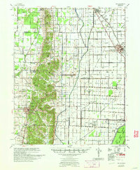
1958 · Dee
USGS Topo · 1:62,500
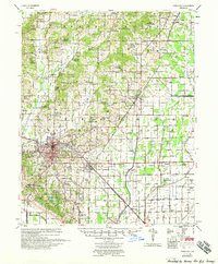
1958 · Jonesboro
USGS Topo · 1:62,500