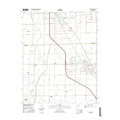
2017 Map of Trumann
USGS Topo · Published 2017About this map
Trumann and the town of Bay anchor this landscape along the border of Craighead and Poinsett counties. The area is defined by a dense grid of rural routes and farm-to-market roads, including Lunsford Ave and Co Rd 652, which connect smaller residential pockets and named locales. In the southern portion of the sheet, clusters of settlements like Promised Land, Maple Grove, and Walnut Grove Corner reflect the region's agricultural footprint.
Find a feature on this map
98 named features on this map. Tap any name to fly to it.
Don’t see what you’re looking for? This feature index may not catch every label — zoom into the map to look around manually.
Map Details
Editions of this 2017 Trumann Map
This is the sole edition of this map. No revisions or reprints were ever made.
Other maps of this area

1939 · Jonesboro
USGS Topo · 1:62,500

1940 · Dee
USGS Topo · 1:62,500

1941 · Leachville
USGS Topo · 1:62,500

1941 · Marked Tree
USGS Topo · 1:62,500

1953 · Memphis
USGS Topo · 1:250,000

1956 · Leachville
USGS Topo · 1:62,500

1956 · Marked Tree
USGS Topo · 1:62,500

1956 · Memphis
USGS Topo · 1:250,000

1958 · Dee
USGS Topo · 1:62,500

1958 · Jonesboro
USGS Topo · 1:62,500