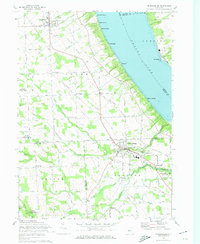
1970 Map of Trumansburg
USGS Topo · Published 1974About this map
The western shore of Cayuga Lake defines this Finger Lakes landscape, where the plateau drops sharply toward the water's edge at Lake Ridge Pt and Little Pt. This 1970 revision captures the agricultural and institutional fabric of the area, anchored by the village of Trumansburg, which serves as a central hub for the surrounding rural townships of Covert and Ulysses. The topography is marked by deeply incised gorges formed by Taughannock Creek and Trumansburg Creek, leading toward the shoreline at Taughannock Falls State Park.
Find a feature on this map
59 named features on this map. Tap any name to fly to it.
Don’t see what you’re looking for? This feature index may not catch every label — zoom into the map to look around manually.
Map Details
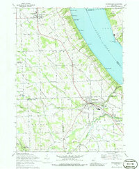
Editions of this 1970 Trumansburg Map
2 editions found
Other maps of this area

1893 · Ithaca
USGS Topo · 1:62,500

1895 · Ithaca
USGS Topo · 1:62,500

1898 · Watkins Glen
USGS Topo · 1:62,500

1901 · Watkins
USGS Topo · 1:62,500

1902 · Genoa
USGS Topo · 1:62,500

1902 · Ovid
USGS Topo · 1:62,500

1905 · Watkins Glen
USGS Topo · 1:125,000

1942 · Ovid
USGS Topo · 1:31,680

1942 · Ludlowville
USGS Topo · 1:24,000

1942 · Lodi
USGS Topo · 1:24,000