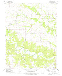
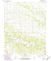
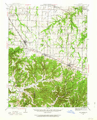
1975 Map of Truxton
USGS Topo · Published 1977About this map
The West Fork Cuivre River meanders through the heart of Lincoln County, defining a landscape shaped by rural industry and small-town Missouri life in the mid-1970s. The settlement of Truxton anchors the southern portion of the sheet, while Olney sits to the north, surrounded by a network of drainage features like Big Lead Creek and Bracht Branch. This survey documents a transition in land use, where traditional agriculture meets early resource extraction at the Claypits south of Olney.
Find a feature on this map
28 named features on this map. Tap any name to fly to it.
Don’t see what you’re looking for? This feature index may not catch every label — zoom into the map to look around manually.
Map Details
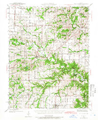
Editions of this 1975 Truxton Map
2 editions found
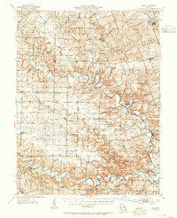
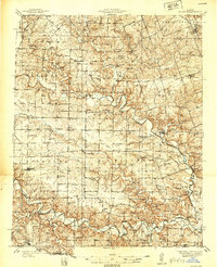
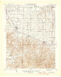
Other maps of this area

1890 · Louisiana
USGS Topo · 1:125,000

1890 · Hermann
USGS Topo · 1:125,000
1937 · Silex
USGS Topo · 1:62,500
1939 · Silex
USGS Topo · 1:48,000
1942 · New Florence
USGS Topo · 1:62,500
1942 · Bellflower
USGS Topo · 1:62,500

1943 · Warrenton
USGS Topo · 1:62,500

1945 · Bellflower
USGS Topo · 1:62,500

1945 · Warrenton
USGS Topo · 1:62,500
1946 · New Florence
USGS Topo · 1:62,500