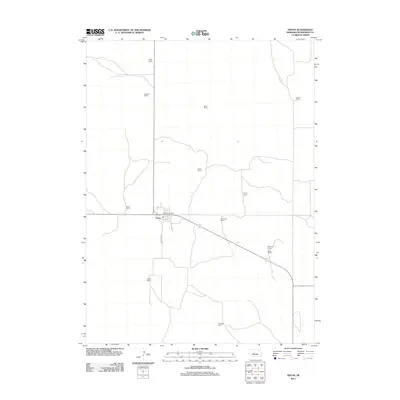
2011 Map of Tryon
USGS Topo · Published 2011About this map
The unincorporated community of Tryon serves as the focal point of this McPherson County landscape, centered around the Tryon Post Office and the intersection of local routes like 1st St and Patterson St. As the only named settlement in the immediate area, its importance to the surrounding agricultural network is evident. The geography is defined by a sparse but organized distribution of family-held properties, representing the enduring ranching traditions of the Nebraska Sandhills.
Find a feature on this map
16 named features on this map. Tap any name to fly to it.
Don’t see what you’re looking for? This feature index may not catch every label — zoom into the map to look around manually.
Map Details
Editions of this 2011 Tryon Map
This is the sole edition of this map. No revisions or reprints were ever made.
Other maps of this area

1898 · Paxton
USGS Topo · 1:125,000

1899 · North Platte
USGS Topo · 1:125,000

1901 · Paxton
USGS Topo · 1:125,000

1902 · North Platte
USGS Topo · 1:125,000

1949 · Wright Valley
USGS Topo · 1:62,500

1951 · Tryon
USGS Topo · 1:62,500

1951 · Wright Valley
USGS Topo · 1:62,500

1954 · North Platte
USGS Topo · 1:250,000

1956 · North Platte
USGS Topo · 1:250,000

1957 · North Platte
USGS Topo · 1:250,000