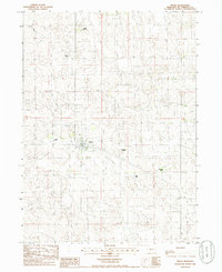
1985 Map of Tryon
USGS Topo · Published 1986About this map
The unincorporated community of Tryon serves as the focal point of this mid-1980s Nebraska Sandhills survey. As the county seat of McPherson County, the small settlement is surrounded by a sprawling landscape of undulating sand dunes and cattle ranching operations. The mapping of named properties such as Kemp Ranch, Connell Ranch, and Kahoe Ranch underscores the importance of large-scale landholdings in this sparsely populated region.
Find a feature on this map
10 named features on this map. Tap any name to fly to it.
Don’t see what you’re looking for? This feature index may not catch every label — zoom into the map to look around manually.
Map Details
Editions of this 1985 Tryon Map
This is the sole edition of this map. No revisions or reprints were ever made.
Other maps of this area

1898 · Paxton
USGS Topo · 1:125,000

1899 · North Platte
USGS Topo · 1:125,000

1901 · Paxton
USGS Topo · 1:125,000

1902 · North Platte
USGS Topo · 1:125,000

1949 · Wright Valley
USGS Topo · 1:62,500

1951 · Tryon
USGS Topo · 1:62,500

1951 · Wright Valley
USGS Topo · 1:62,500

1954 · North Platte
USGS Topo · 1:250,000

1956 · North Platte
USGS Topo · 1:250,000

1957 · North Platte
USGS Topo · 1:250,000