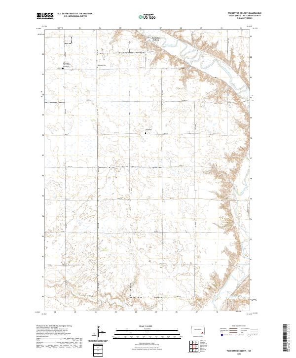
2021 Map of Tschetter Colony
USGS Topo · Published 2021About this map
Tschetter Colony sits near the winding course of the James River in this rural section of Hutchinson County. The landscape is defined by the agricultural grid of the Public Land Survey System, with numerous small wetlands scattered across the prairie. The map provides significant genealogical value through the documentation of early local burial sites, including the Saint John's Lutheran Cem Wittenberg, the Bäumback Cem, and the Wittenberg Cem. These sites, along with the names of local roads like Tschetter Ave and Colony Rd, reflect the settlement patterns and communal history of the area. Waterways like Lonetree Cr and Furlong Cr drain the southern portions of the territory, cutting through the section lines that otherwise dominate the geography.
Find a feature on this map
32 named features on this map. Tap any name to fly to it.
Don’t see what you’re looking for? This feature index may not catch every label — zoom into the map to look around manually.
Map Details
Editions of this 2021 Tschetter Colony Map
This is the sole edition of this map. No revisions or reprints were ever made.
Other maps of this area

1898 · Olivet
USGS Topo · 1:125,000

1955 · Sioux Falls
USGS Topo · 1:250,000

1957 · Tschetter Colony
USGS Topo · 1:24,000

1957 · Menno
USGS Topo · 1:24,000

1957 · Milltown
USGS Topo · 1:24,000

1957 · Clayton
USGS Topo · 1:24,000

1957 · Wolf Creek
USGS Topo · 1:24,000

1957 · Scotland
USGS Topo · 1:24,000

1958 · Sioux Falls
USGS Topo · 1:250,000

1970 · Clayton NE
USGS Topo · 1:24,000
Featured Places
- Clayton Township, SD
- Wittenberg Township, SD
- Capital Township, SD
- Sweet Township, SD
- Kassel Township, SD