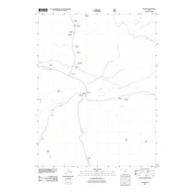
2011 Map of Tucker
USGS Topo · Published 2011About this map
Tucker and Gilluly sit within a landscape defined by deep canyons and high ridges at the edge of the Wasatch Range. The drainage of Soldier Creek serves as a primary corridor for travel, where the modern highway system follows the same narrow path used by earlier pioneers and rail workers. Near the junction of Starvation Canyon and Starvation Creek, the topography drops significantly from the heights of Bennion Ridge and Tucker Peak.
Find a feature on this map
35 named features on this map. Tap any name to fly to it.
Don’t see what you’re looking for? This feature index may not catch every label — zoom into the map to look around manually.
Map Details
Editions of this 2011 Tucker Map
This is the sole edition of this map. No revisions or reprints were ever made.
Other maps of this area

1885 · Salt Lake
USGS Topo · 1:250,000

1885 · Manti
USGS Topo · 1:250,000

1895 · Manti
USGS Topo · 1:250,000

1907 · Strawberry Valley
USGS Topo · 1:125,000

1909 · Strawberry Valley
USGS Topo · 1:125,000

1939 · Soldier Summit
USGS Topo · 1:62,500

1942 · Soldier Summit
USGS Topo · 1:62,500

1954 · Salt Lake City
USGS Topo · 1:250,000

1956 · Price
USGS Topo · 1:250,000

1958 · Salt Lake City
USGS Topo · 1:250,000