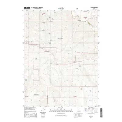
2014 Map of Tucker
USGS Topo · Published 2014About this map
Gilluly and the high mountain corridors of central Utah are the primary focus of this 2014 survey. This region, where the Uinta National Forest meets the Manti-LaSal National Forest, is defined by the steep descent of Spanish Fork Canyon and the winding course of Soldier Creek. The map documents the modern footprint of Us-6, including the Tucker Rest Area, alongside the names of deep mountain drainages like Drunkard Hollow and Soberville Hollow. High points such as Tucker Peak and High Peak overlook a landscape of ridgelines, including Willow Creek Ridge and Bennion Ridge. The transition from the Wasatch County line into Utah County is clearly marked, illustrating how the geography of canyons and canyons like Starvation Canyon and Davidson Canyon dictate the routes through this high-altitude terrain.
Find a feature on this map
49 named features on this map. Tap any name to fly to it.
Don’t see what you’re looking for? This feature index may not catch every label — zoom into the map to look around manually.
Map Details
Editions of this 2014 Tucker Map
This is the sole edition of this map. No revisions or reprints were ever made.
Other maps of this area

1885 · Salt Lake
USGS Topo · 1:250,000

1885 · Manti
USGS Topo · 1:250,000

1895 · Manti
USGS Topo · 1:250,000

1907 · Strawberry Valley
USGS Topo · 1:125,000

1909 · Strawberry Valley
USGS Topo · 1:125,000

1939 · Soldier Summit
USGS Topo · 1:62,500

1942 · Soldier Summit
USGS Topo · 1:62,500

1954 · Salt Lake City
USGS Topo · 1:250,000

1956 · Price
USGS Topo · 1:250,000

1958 · Salt Lake City
USGS Topo · 1:250,000