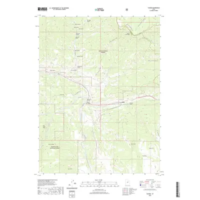
2020 Map of Tucker
USGS Topo · Published 2020About this map
Gilluly sits at the junction of several critical canyon corridors where the high ridges of the Uinta National Forest meet those of the Manti-La Sal National Forest. The landscape is defined by the deep carving of Spanish Fork Canyon and Starvation Canyon, which provide a natural route through the otherwise daunting elevations of High Peak and Tucker Peak.
Find a feature on this map
44 named features on this map. Tap any name to fly to it.
Don’t see what you’re looking for? This feature index may not catch every label — zoom into the map to look around manually.
Map Details
Editions of this 2020 Tucker Map
This is the sole edition of this map. No revisions or reprints were ever made.
Other maps of this area

1885 · Salt Lake
USGS Topo · 1:250,000

1885 · Manti
USGS Topo · 1:250,000

1895 · Manti
USGS Topo · 1:250,000

1907 · Strawberry Valley
USGS Topo · 1:125,000

1909 · Strawberry Valley
USGS Topo · 1:125,000

1939 · Soldier Summit
USGS Topo · 1:62,500

1942 · Soldier Summit
USGS Topo · 1:62,500

1954 · Salt Lake City
USGS Topo · 1:250,000

1956 · Price
USGS Topo · 1:250,000

1958 · Salt Lake City
USGS Topo · 1:250,000