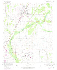
1965 Map of Tuckerman
USGS Topo · Published 1982About this map
Tuckerman serves as a central hub in this Jackson County landscape, where the Missouri Pacific railroad cuts a diagonal line through the agricultural heartland. The terrain is defined by an intricate network of drainage and irrigation, with systems like the Tuckerman Ditch and Hatchet Ditch supporting the flat bottomlands around Village Creek. This 1960s survey, with early 1980s updates, shows the evolving infrastructure of the area, including the Newport Municipal Airport and the expansion of Airport Village.
Find a feature on this map
43 named features on this map. Tap any name to fly to it.
Don’t see what you’re looking for? This feature index may not catch every label — zoom into the map to look around manually.
Map Details
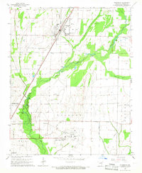
Editions of this 1965 Tuckerman Map
2 editions found
Other maps of this area

1932 · Strawberry
USGS Topo · 1:62,500

1935 · Alicia
USGS Topo · 1:62,500

1935 · Strawberry
USGS Topo · 1:62,500

1935 · Newport
USGS Topo · 1:62,500

1935 · Tuckerman
USGS Topo · 1:62,500

1941 · Strawberry
USGS Topo · 1:62,500

1953 · Memphis
USGS Topo · 1:250,000

1955 · Cord
USGS Topo · 1:24,000

1956 · Memphis
USGS Topo · 1:250,000

1962 · Jacksonport
USGS Topo · 1:24,000