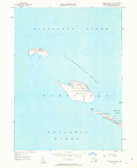
1951 Map of Tuckernuck Island
USGS Topo · Published 1963About this map
Tuckernuck Island and the isolated Muskeget Island are captured in this mid-century survey, documenting the shifting coastal geography of these outliers in Nantucket Sound. The map illustrates a landscape of coastal ponds and sandy reaches, including North Pond and East Pond on Tuckernuck. The westernmost extension of Nantucket Island is shown at Smith Point, where the shoreline is threaded by Smith Point Road and the small channels of Narrow Cr and Broad Creek.
Find a feature on this map
17 named features on this map. Tap any name to fly to it.
Don’t see what you’re looking for? This feature index may not catch every label — zoom into the map to look around manually.
Map Details
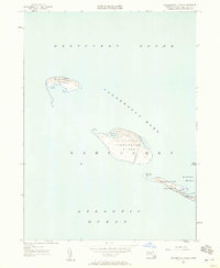
Editions of this 1951 Tuckernuck Island Map
3 editions found
Other maps of this area

1887 · Muskeget
USGS Topo · 1:62,500

1889 · Muskeget
USGS Topo · 1:62,500

1893 · Muskeget
USGS Topo · 1:62,500

1899 · Muskeget
USGS Topo · 1:62,500

1942 · Nantucket
USGS Topo · 1:125,000

1944 · Tuckernuck Island
USGS Topo · 1:31,680

1945 · Nantucket
USGS Topo · 1:31,680

1947 · Providence
USGS Topo · 1:250,000

1948 · Providence
USGS Topo · 1:250,000
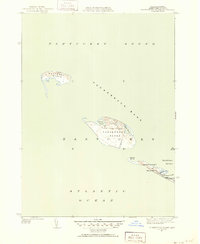
1951 · Tuckernuck Island
USGS Topo · 1:31,680