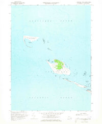
1972 Map of Tuckernuck Island
USGS Topo · Published 1973About this map
Tuckernuck Island and Muskeget Island anchor this coastal survey, appearing at a pivotal moment in the early 1970s. The map captures the delicate topography of these islands between Nantucket Sound and the Atlantic Ocean. Of particular interest is the elongated form of Esther Island, which stretches toward Smith Pt, framing the western entrance to Madaket Harbor. The interior of Tuckernuck shows a dedicated Landing Strip and small bodies of water like North Pond and East Pond. This survey, based on aerial photography from the late 1960s and early 1970s, documents the shifting sand bars and extensive Tidal Flat zones that define the maritime hazards of the area. It provides a baseline for the island's morphology before major late-century storm events further altered the connection between the western points of Nantucket Island and its smaller neighbors.
Find a feature on this map
16 named features on this map. Tap any name to fly to it.
Don’t see what you’re looking for? This feature index may not catch every label — zoom into the map to look around manually.
Map Details
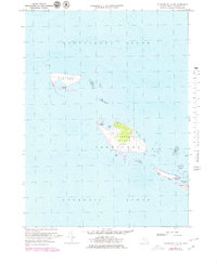
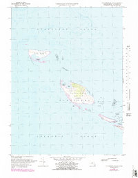
Editions of this 1972 Tuckernuck Island Map
3 editions found
Other maps of this area

1887 · Muskeget
USGS Topo · 1:62,500

1889 · Muskeget
USGS Topo · 1:62,500

1893 · Muskeget
USGS Topo · 1:62,500

1899 · Muskeget
USGS Topo · 1:62,500

1942 · Nantucket
USGS Topo · 1:125,000

1944 · Tuckernuck Island
USGS Topo · 1:31,680

1945 · Nantucket
USGS Topo · 1:31,680

1947 · Providence
USGS Topo · 1:250,000

1948 · Providence
USGS Topo · 1:250,000
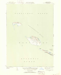
1951 · Tuckernuck Island
USGS Topo · 1:31,680