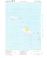
1972 Map of Tuckernuck Island
USGS Topo · Published 1979About this map
Tuckernuck Island and the neighboring Muskeget Island appear as fragile outposts between Nantucket Sound and the open Atlantic Ocean. This 1970s revision reveals a landscape of shifting sands and coastal ponds, where human presence is marked only by a solitary landing strip, a water tower, and a small pier on the southern shore. The map details the intricate hydrography of the region, from the tidal flats surrounding Madaket Harbor to the landforms of Eel Pt and Esther Island. On the western edge of Nantucket Island, the settlement of Madaket serves as the gateway to these remote islands. The inclusion of internal water bodies like North Pond and East Pond illustrates the unique geomorphology of these low-lying glacial remnants before subsequent decades of erosion and tidal change.
Find a feature on this map
18 named features on this map. Tap any name to fly to it.
Don’t see what you’re looking for? This feature index may not catch every label — zoom into the map to look around manually.
Map Details
Editions of this 1972 Tuckernuck Island Map
3 editions found
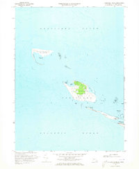
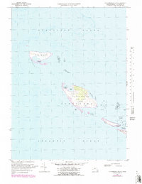
Other maps of this area

1887 · Muskeget
USGS Topo · 1:62,500

1889 · Muskeget
USGS Topo · 1:62,500

1893 · Muskeget
USGS Topo · 1:62,500

1899 · Muskeget
USGS Topo · 1:62,500

1942 · Nantucket
USGS Topo · 1:125,000

1944 · Tuckernuck Island
USGS Topo · 1:31,680

1945 · Nantucket
USGS Topo · 1:31,680

1947 · Providence
USGS Topo · 1:250,000

1948 · Providence
USGS Topo · 1:250,000
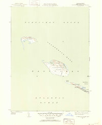
1951 · Tuckernuck Island
USGS Topo · 1:31,680